THE architecture of genocide
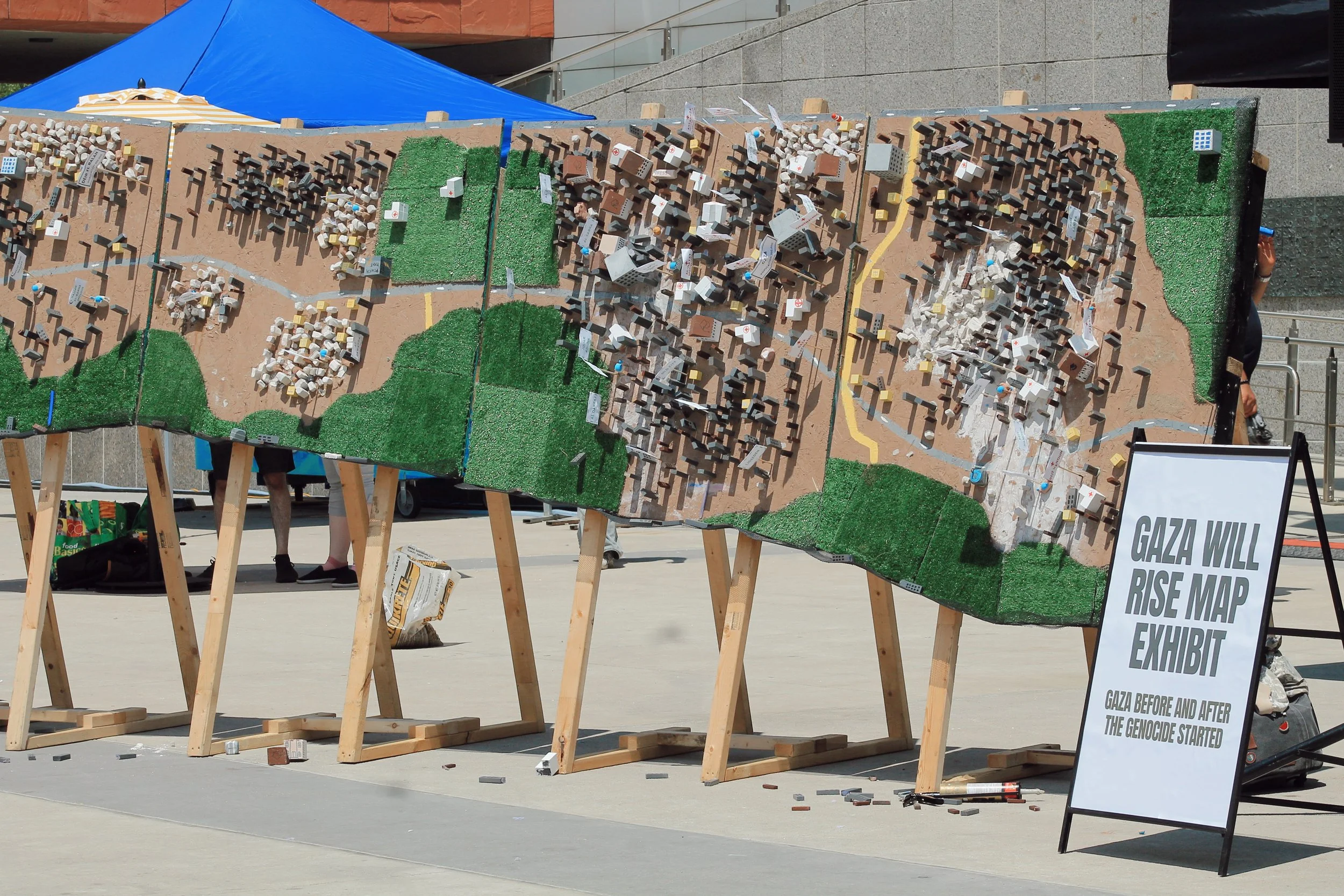
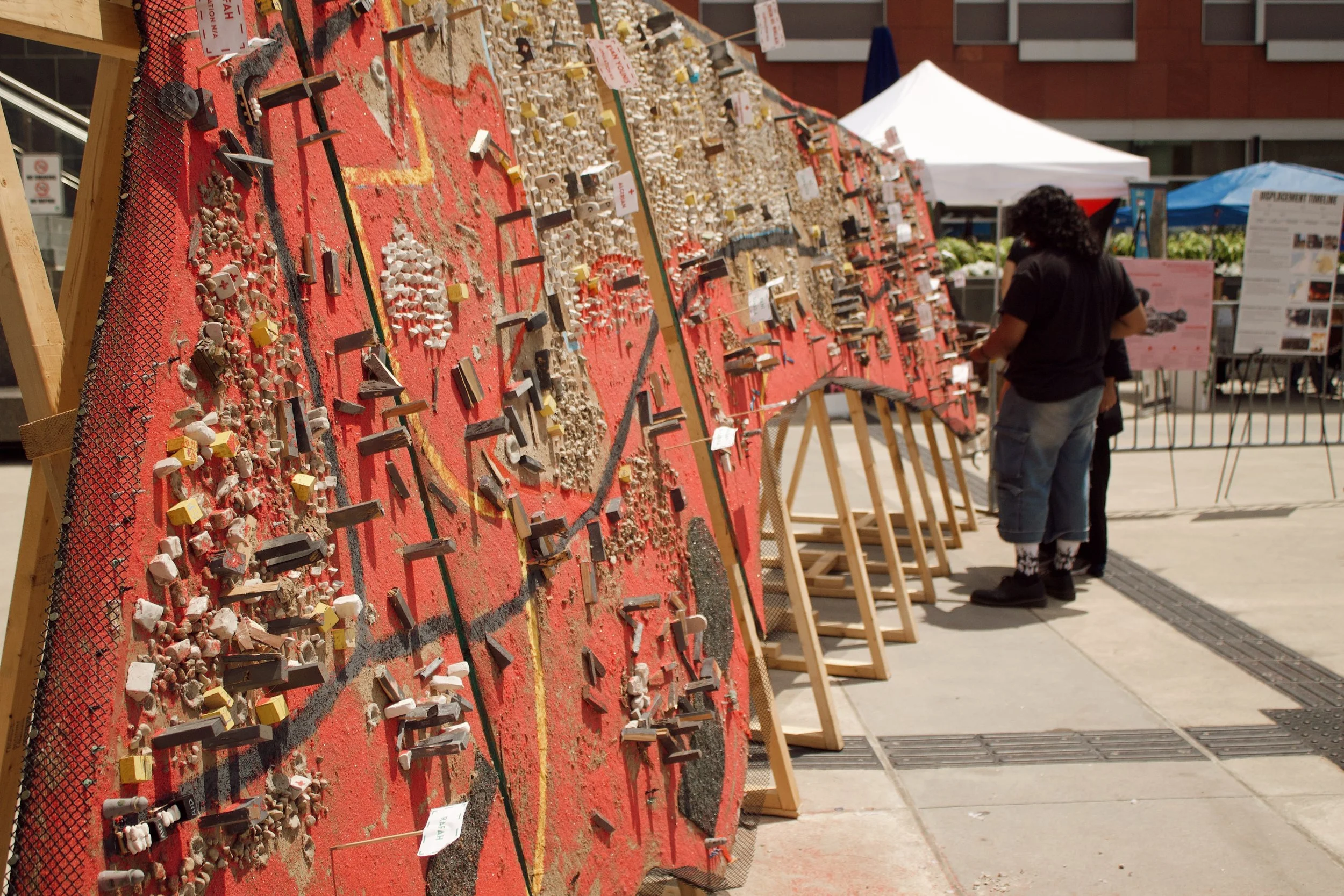
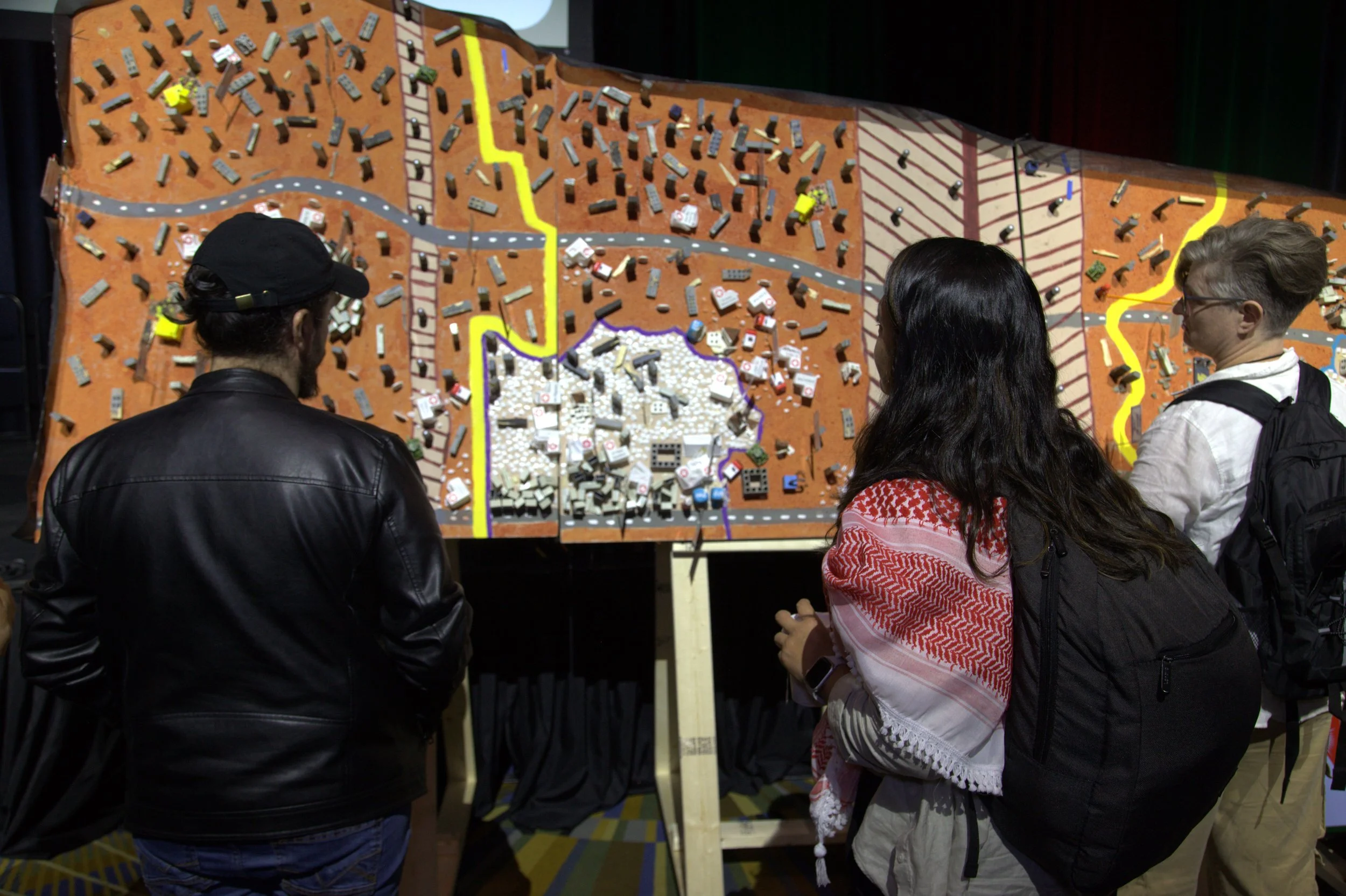
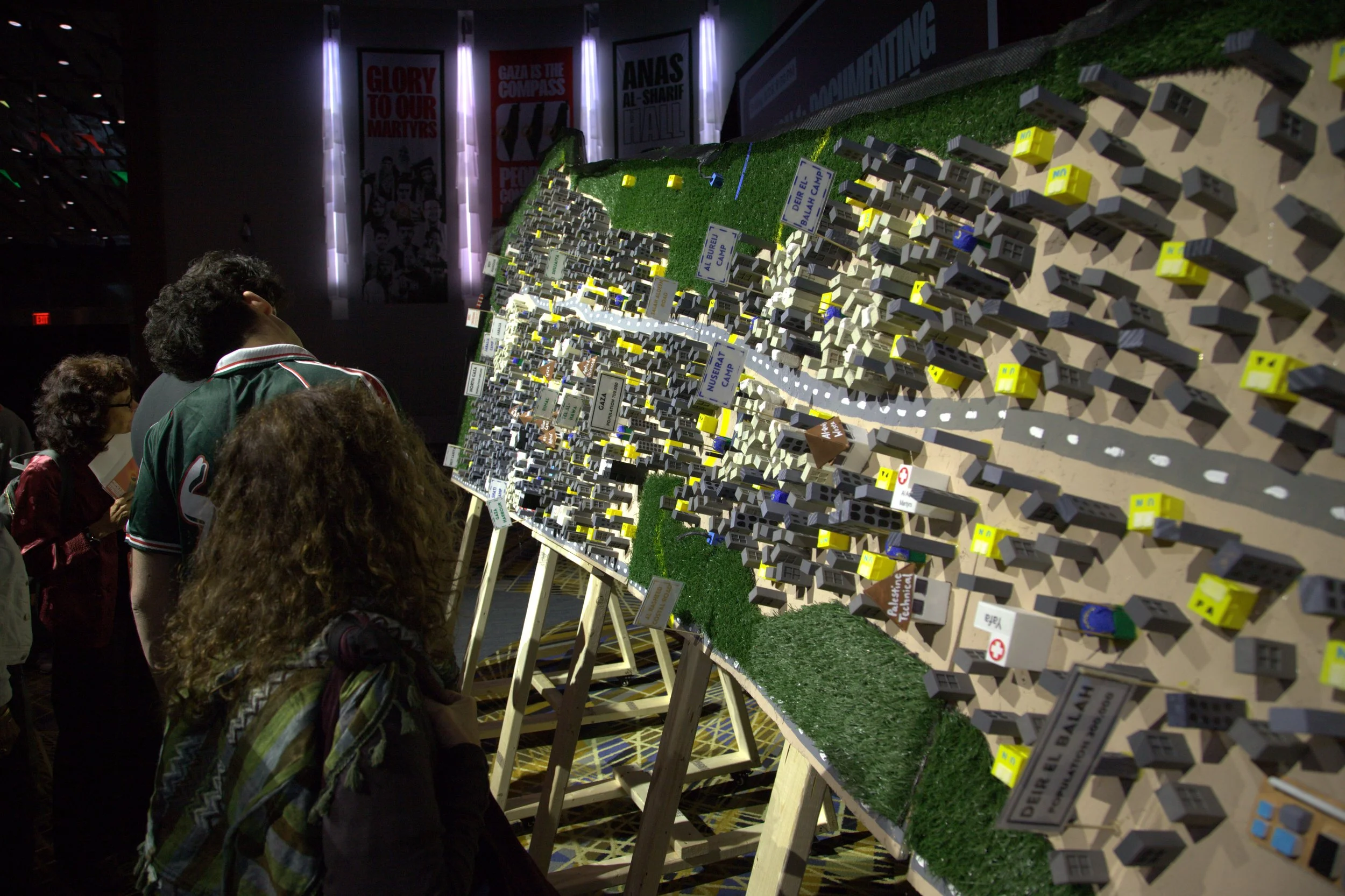
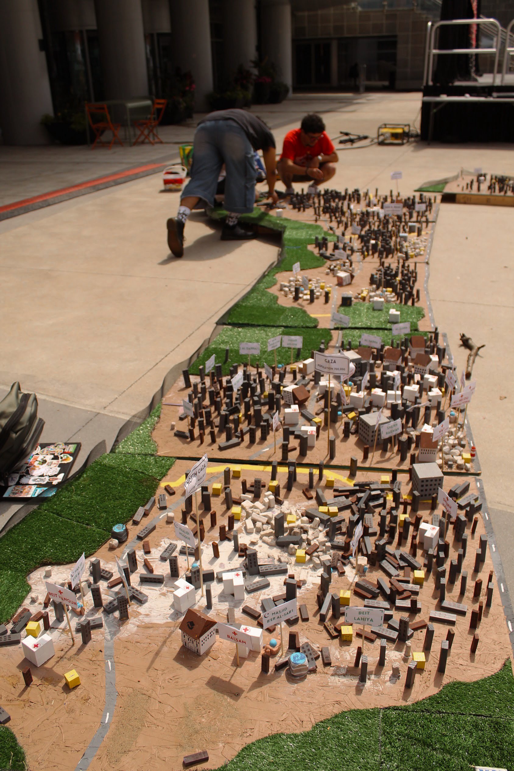
“The Architecture of Genocide” is a large-scale, tactile map display of Gaza before and during the genocide. The maps trace the annihilation of Gaza’s education, healthcare, energy, water, and food systems, exposing the way in which Israel deliberately targets and destroys Gaza’s life saving infrastructure. While Israel massacres journalists in attempt to hide the brutality of its genocide, the Gaza maps serve as a tool to document the genocide and confront Israel’s disinformation campaign. They tell not only the story of Zionist genocide, but also that of Gaza’s steadfastness, by detailing the strip before October 2023, showing how despite a 17-year long siege, the people of Gaza built homes, communities, and critical infrastructure in order to remain on their land.

Launched at our Third Annual Kitchener-Waterloo Palestine Festival in 2024, the maps have since been displayed in the Montreal Palestine Festival, and at the People’s Conference for Palestine in Detroit, Michigan.
The Architecture of Genocide exhibit is a tool to build, teach, organize and fight for our people in Gaza who have given the ultimate sacrifice. Panelists offer a path forward: to expose the architecture of genocide, confront the systems that sustain it, and equip ourselves with the clarity, grounding, and tools needed to rebuild, organize, and fight for the total liberation of Palestine.
A digital companion
documenting genocide
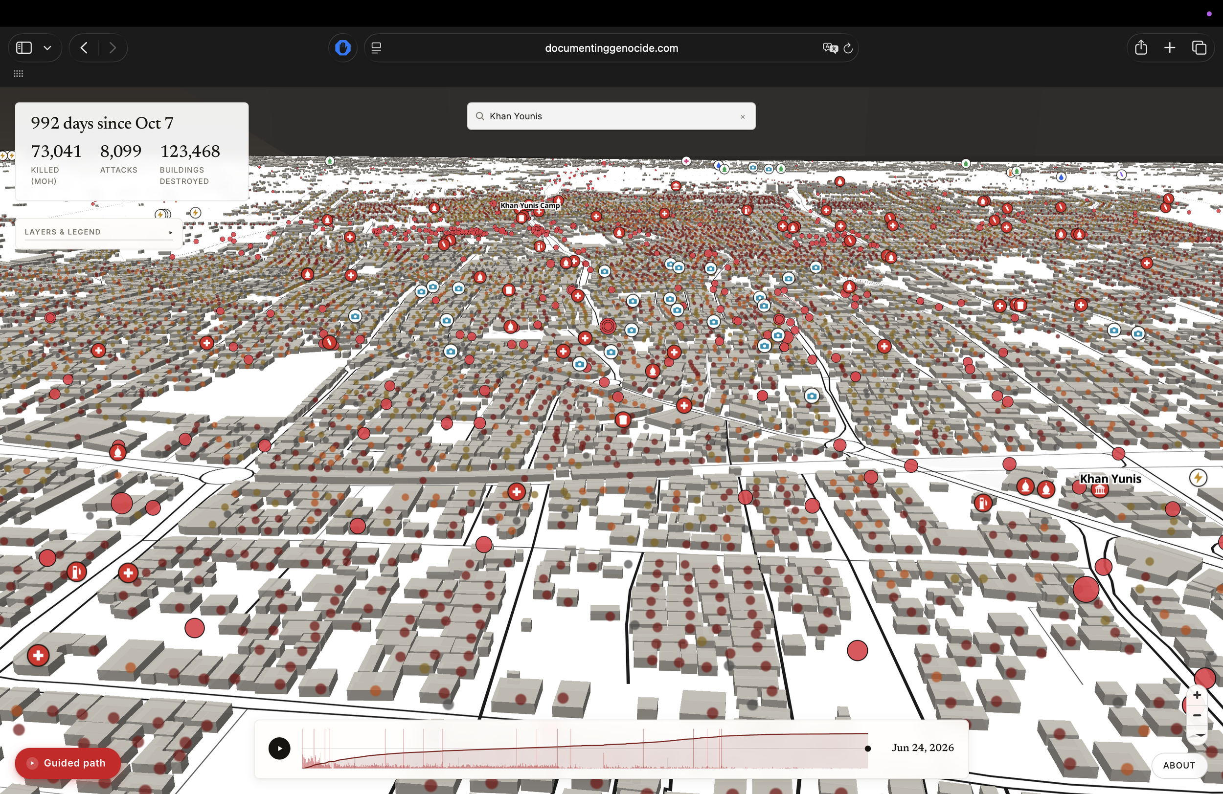
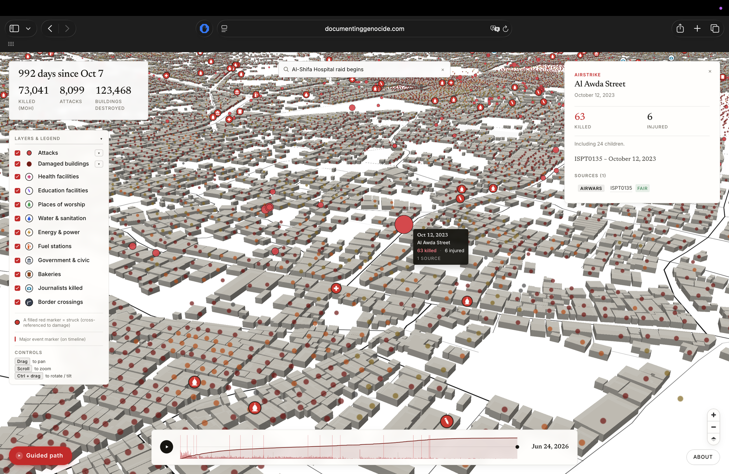
Where the Architecture of Genocide makes the destruction tactile and unforgettable, Documenting Genocide holds the same record online. It is an interactive geographic archive of the genocide on Gaza since October 7, 2023 — every dot opens a sourced report showing what happened, where it happened, and who reported it.
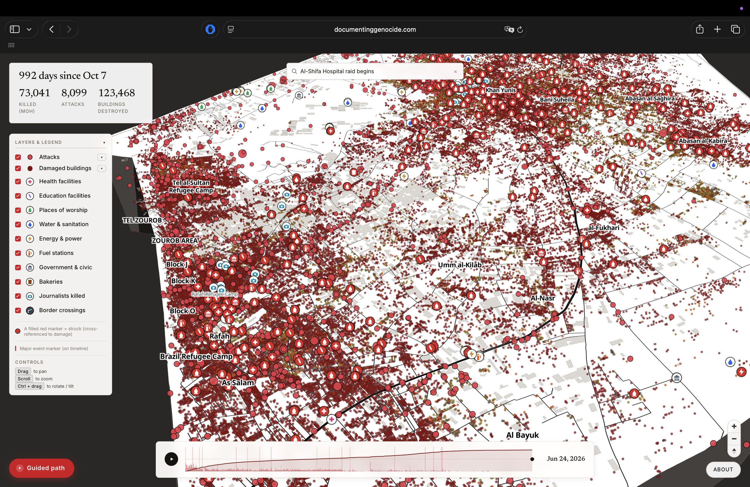
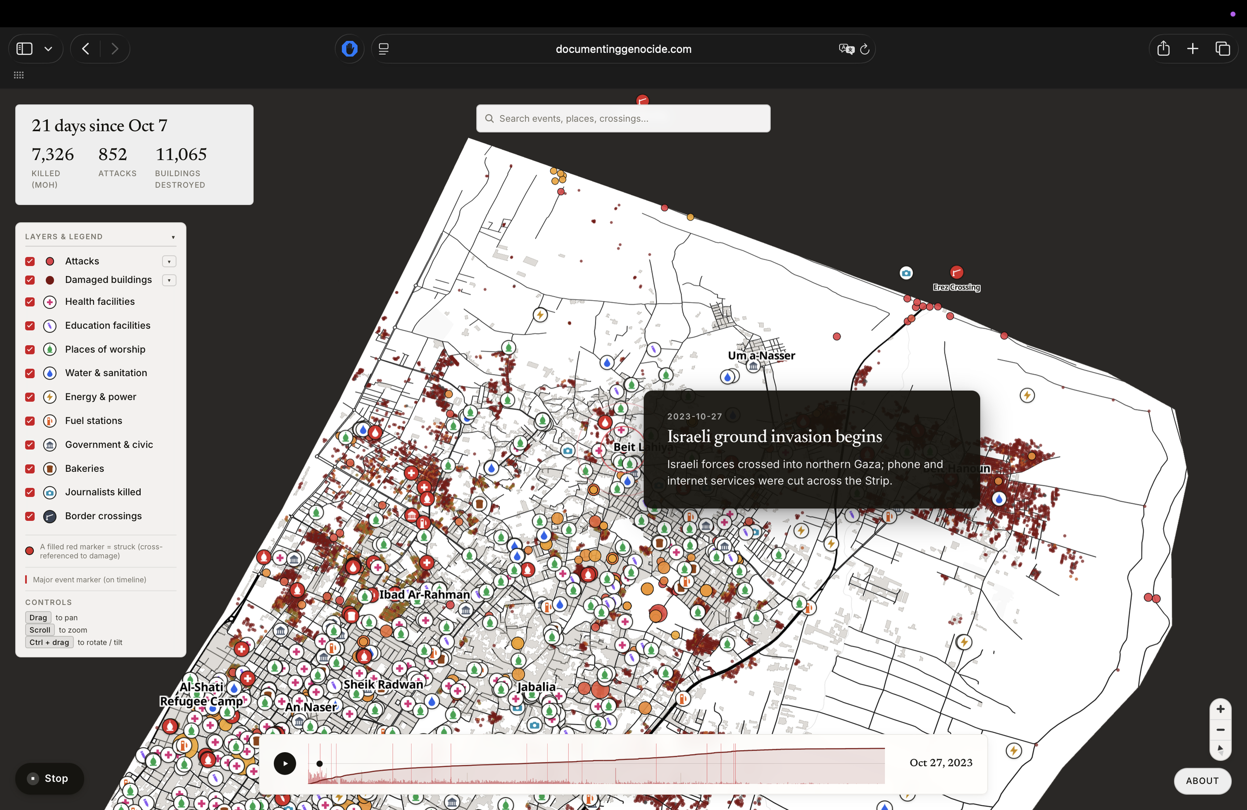
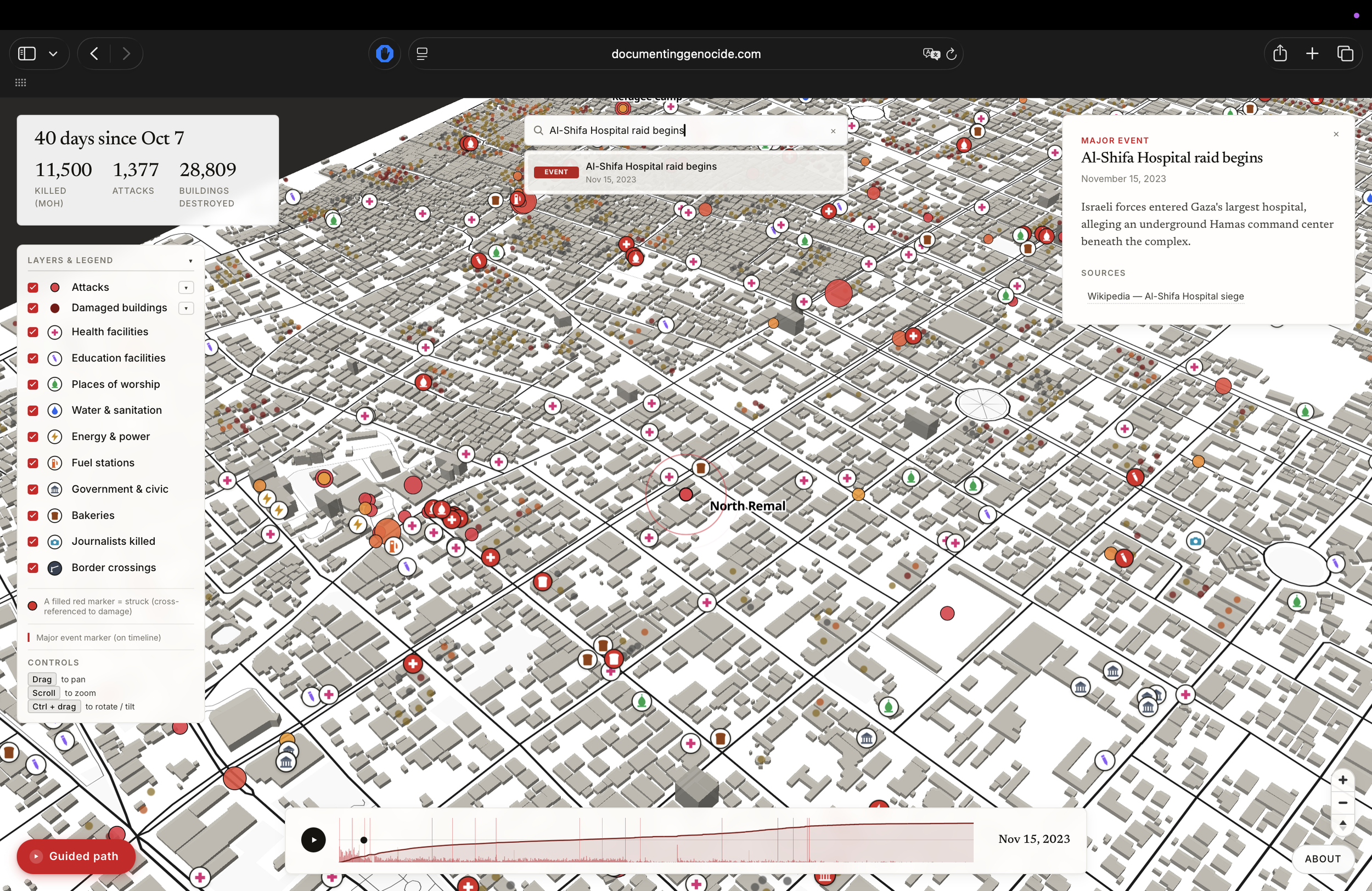
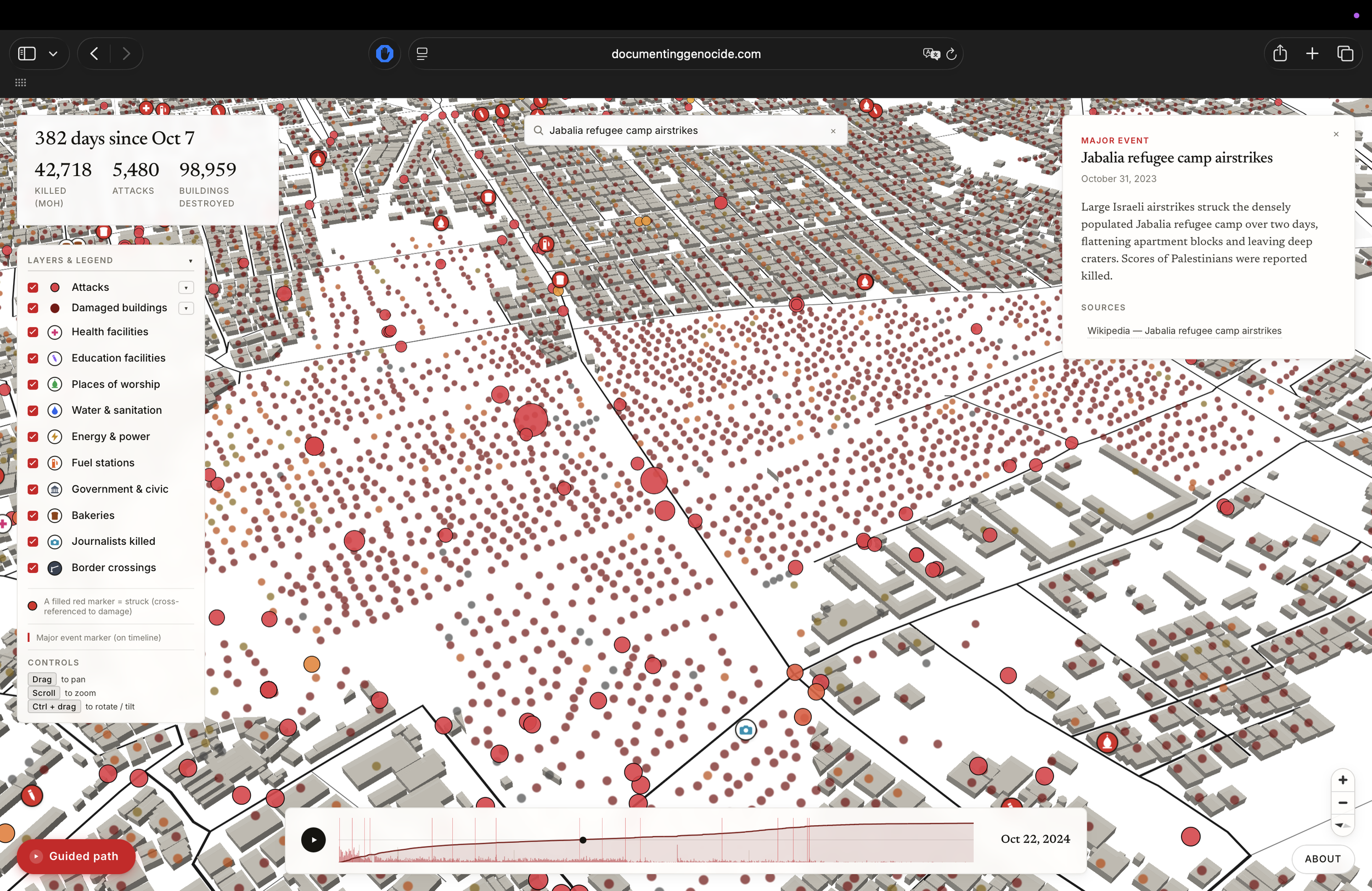
Events and incidents are pinned by date and location with their reported casualty counts and links back to the original source. Building damage drawn from satellite analysis renders the physical destruction at street scale. Hospitals, schools, places of worship, water and sanitation, bakeries, fuel stations, energy systems, government buildings, and border crossings are each marked individually — so the systematic targeting of civilian life can be seen, not just the headlines. Journalists killed are commemorated by name and location.
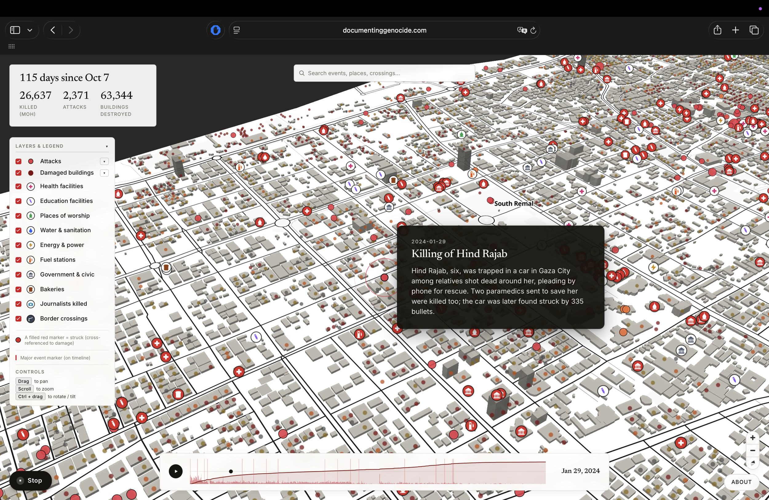
A guided path walks visitors through the turning points of the war, from Al-Ahli to Al-Shifa to Hind Rajab. A search bar pulls up any event, place, or named victim. All of it is drawn from publicly available sources — the journalists, satellite analysts, and human-rights workers whose work the archive holds in common.
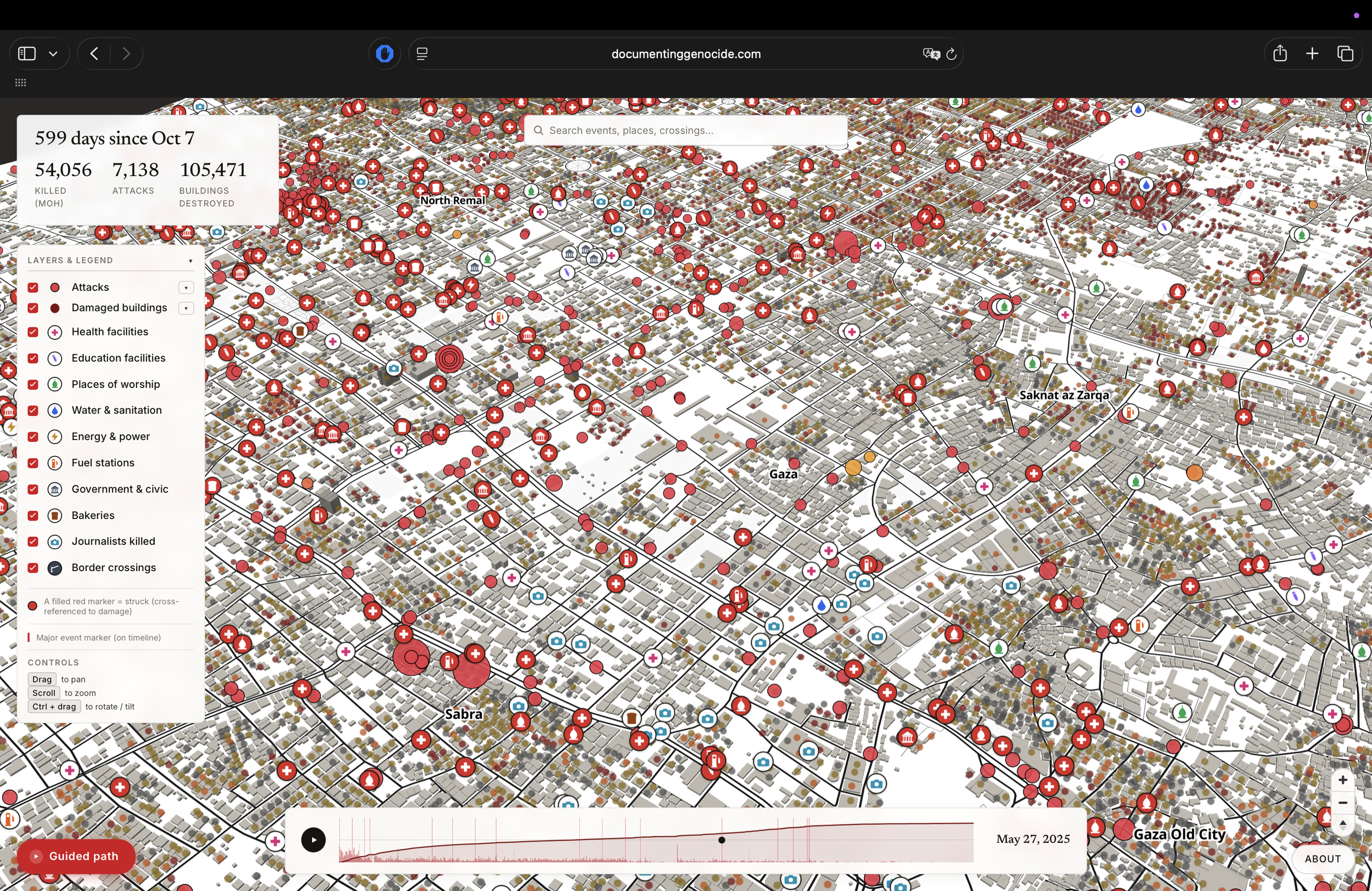

All information on the map is drawn from publicly available sources.